Darien
Province of Darién
The province of Darién is located in the extreme east of Panama. It is made up of four districts, twenty-four corregimientos, seven hundred towns, and two indigenous districts, and has a territorial extension of 16,671 km2. It borders on Colombia and is divided geographically by the so-called Darién plug, a dense and humid forest of great natural wealth.
Location
It is located in a geographical position between the coordinates 8˚ 34'30 "north latitude and 77˚ 54'54" west longitude. Its territory occupies an area of 11,896 km², an area similar to that of the island of Jamaica.
Historia
The origin of the Darién name is not clear, but scientists believe that it is derived from the Darién River, near the Gulf of Urabá. The name of this river probably comes from an indigenous cacique of the area. In the homonymous historical region, Vasco Núñez de Balboa founded in 1510 the first Spanish city on the mainland, Santa María la Antigua del Darién. The Antillean coast, explored by Diego de Lepe and Rodrigo de Bastidas, constituted the Governorate of Darien in 1508. In 1855, when the Federal State of Panama was established, the Panamanian territory was divided into departments and districts. The region of Darién was then established, with Yaviza as its head; in 1890, the head was moved to Chepigana. With the separation of Panama from Colombia in 1903, Darien retained its title of the region. Finally, Law No. 22 of December 27, 1922, created the province of Darién, with the same districts that it currently possesses.
Relief
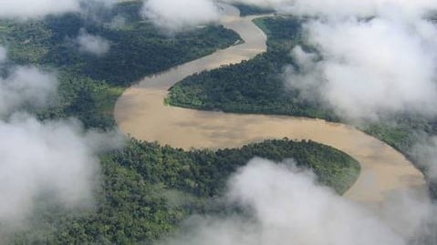
The province of Darién is constituted in its central part by a wavy plain in which the valleys of the Chucunaque and Tuira rivers are located. It is framed by the steep areas of the San Blas, Bagre, Pirre, and del Sapo mountain ranges, which at their highest points reach 1,500 to 1,800 meters above sea level. The main elevations are the following: Tacaruna, Piña, Pirre, Nique, Chucantí, Pavarandó, Armila, Tanela, Sapo, and Altos de Quia.
Weather
Rainfall reaches 1,700 to 2,000 mm annually in the vicinity of the Garachiné inlet, with a marked period of drought between the months of January to April. However, in the areas at the foot of the mountains and valleys in the interior of the province precipitation can exceed 8000 mm per year and there is practically no dry season because it is framed in the region considered the rainiest on the planet. The temperature varies according to the altitude between 17 ° and 35 ° C. The different types of soils and their use are mainly associated with their topographic variations and geological generating materials.
Hydrography
The hydrographic system of the Darién registers a minimum mark in its flows during the period March-April, and a maximum in the month of November. Currently, the use of water resources is mainly limited to the provision of drinking water services to 15 population centers. The lack of detailed information on topography, hydrometeorology, and rainfall does not allow us to estimate the hydroelectric potential of the province.
Demography
The population is characterized by being scarce, dispersed and heterogeneous, and it is located in numerous small towns linked to watercourses. Very significant migratory flows are recorded permanently from and to the province. In 1970 the population reached a total of 22 685 inhabitants, constituted mainly by mulattos, blacks, Colombian Chocoanos, indigenous people, and settlers from other areas of Panama. Approximately 60% of this population is located in 523 population centers of less than 500 inhabitants each. By 2004 the population had reached a total of 43 828 inhabitants and had 613 population centers.
Economic development
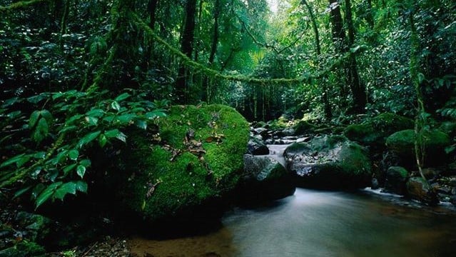
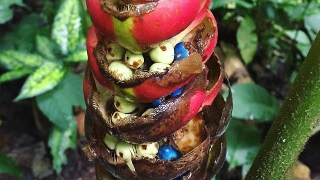
Darién has 8% of the land suitable for intensive cultivation, 60% suitable for pastures, permanent crops and forest products, and 25% for protection and forest reserves. The dominant natural vegetation in the Darién is the forests, which according to the topographic altitude and the rain regime are classified as tropical humid, very humid tropical, and premontane pluvial. The main crops produced in the province are corn, rice, plantain, yucca, yams, and beans. Another item is wood since precious woods are extracted such as Cedar, Balsa, Mahogany, Cocobolo, etc. The province lives under the threat of losing its forest cover due to the indiscriminate and irresponsible felling of forests. The vegetation is humid tropical, very humid tropical, and pre-mountainous pluvial.
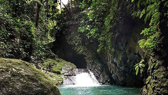
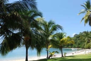
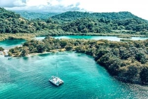
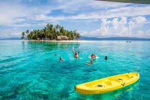
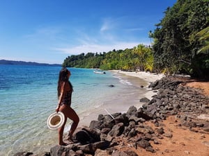
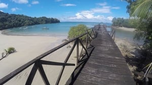
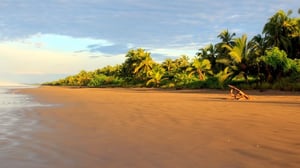
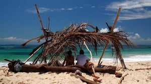
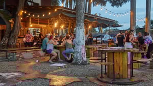
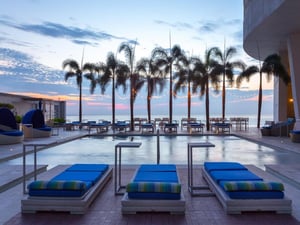
Tourism
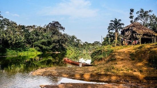
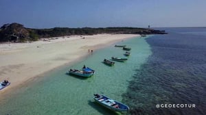
Along the Sambu River, you can see traditional indigenous houses made of local materials. Among the mangroves is the path El Catigua, built high to facilitate the walking of people. There you can see the mangroves that play an important role in the local ecosystem.
Some sites of interest:
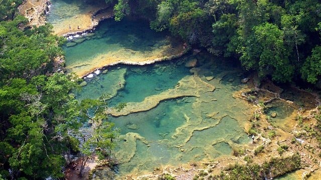
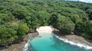
- National Park of Darién It is a protected area and has a national park, recognized in 1981 as World Cultural Heritage. UNESCO declared this park a biosphere reserve of humanity and in 1983, it was named in the category of biodiversity reserve due to its extraordinary biological diversity and its incredible genetic value, as well as for the indigenous tribes that still maintain and practice their ancestral customs. This 579,000 hectares tropical forest is located in the eastern part of the country, on the border with Colombia, and is the largest protected natural area in Central America and the Caribbean. Includes mountain ranges that reach 2,500 meters plus navigable rivers such as Tuira and Chucunaque. The forests of this park house many species of extraordinary plants that are unique in the world, as well as some animals such as the Jaguar and the harpy eagle. Within the Darién National Park, the Emberá-Wounaan Comarca and the Biological Corridor of the mountainous region of Bagre are included.
- District Chepigana with a population of 27 461 according to the 2000 census. It has a territorial surface of 7309 km². It is located in a geographical position between the coordinates of 8˚ 24 '36 "north latitude and 78˚ 9'00" west longitude. It is composed of 16 districts and the capital is located in the city of La Palma.
- District of Pinogana it has a population of 12 823 inhabitants in a territorial surface of 4557 km². It is located between Los 8˚ 7 '48 "north latitude and 77˚ 42' 36" west longitude. The district is made up of 9 corregimientos.
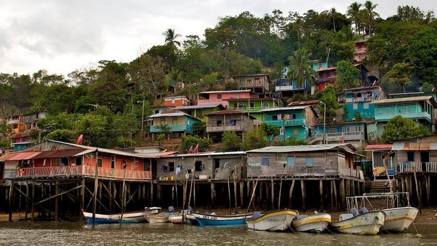
- City of La Palma Provincial capital and head of the district of Chepigana. La Palma has a population of 18 634 inhabitants. It is located on the shores of the Pacific Ocean, in the extreme part of a peninsula. It is located between the coordinates of 8˚ 24 '36 "north latitude and 78˚ 09'00" west longitude. It is an important commercial center. The main crops are corn, rice, cotton and sugarcane.
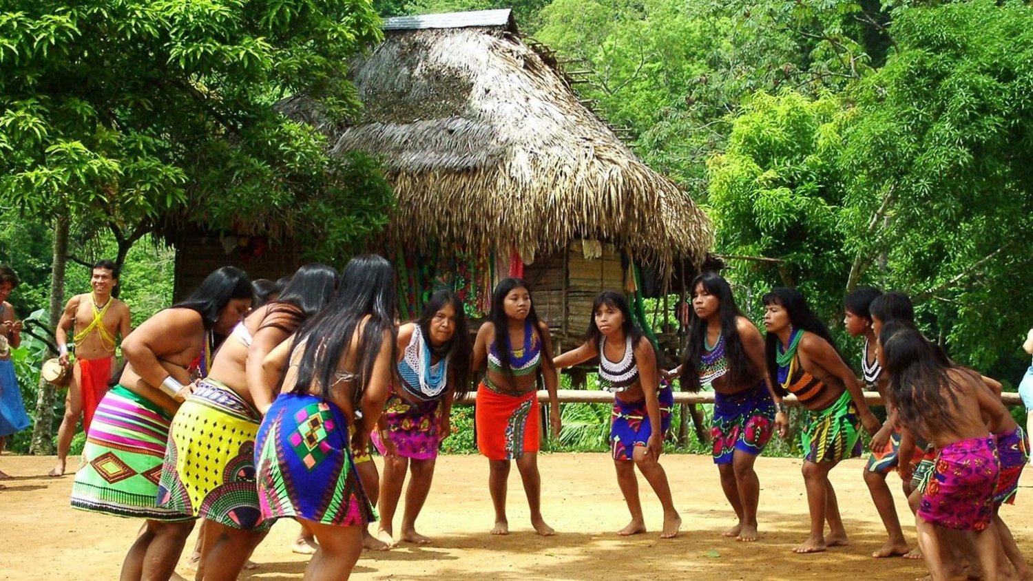
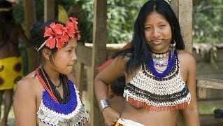
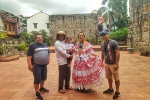
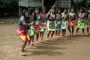
Customs and traditions the Darienita population is composed mostly of indigenous people, Afro-descendants, and settlers who migrated from other provinces (mainly Chiricanos, Santeños, Herreranos, and Veragüenses) in search of good lands and better opportunities. Each group struggles to preserve its roots and maintain its customs and traditions, despite the strong pressure exerted through the media to favor the folklore of neighboring Colombia.
Despite the mixture of groups, in Darien you can see an incipient identification of the settlers with their land. Traditional costumes It is normal to use dresses sewn completely by hand on women while men dress like city men.
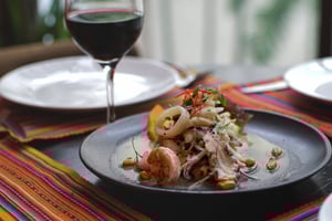
Among their gastronomy we have the guacho of seafood, fish with coconut and rice; and also the serendengue among others. It is traditional a kind of a drink made with cooked banana, which here is called "choca'o"